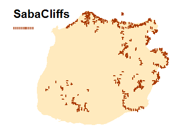
Cliffs of Saba
Submitted by Petra van den Broek on Fri, 08/08/2014 - 12:23Cliffs map of Saba (GIS)
Data type
Maps and Charts
Theme
Research and monitoring
Document
Geographic location
Saba
Central repository for biodiversity related research and monitoring data from the Dutch Caribbean
Cliffs map of Saba (GIS)
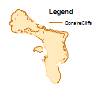
Cliff map of Bonaire (terrace lines) of based on aerial photograph interpretation from December 1995 and June 1996, true color, scale approximately 1:8,000 (GIS).