Historical Geological map of Bonaire (Buisonje)
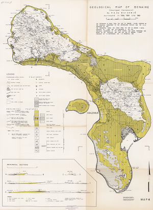
Submitted by Peter Verweij on Tue, 12/02/2014 - 14:36The geological (Younger Cenzoic) map of Bonaire was surveyed in 1956, 1959 and 1960 and includes geological sections at seroe grandi, grita kabai and beneden bolivia.
The download includes a hi-resolution scan of the original paper map and a geo-referenced version for use in GIS.
Date
1956
Data type
Maps and Charts
Theme
Research and monitoring
Document
Geographic location
Bonaire
Image

