Central repository for biodiversity related research and monitoring data from the Dutch Caribbean
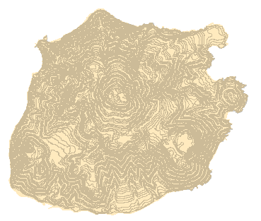
Contour map of Saba (10m interval) based on aerial photograph interpretaion (GIS)
Back to search results