Topography maps of Curacao


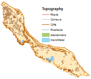
Multiple topographical map layers:

  • Roads (source: CARMABI.)
  • Contours (source: CARMABI)
  • Cliffs (source: CARMABI)
  • Inland island (source: CARMABI)
  • Inland waterbodies(source: CARMABI)
  • Riverbeds (source: derived from 30m digital elevation model (ASTER DEM)


Back to search results

Error | Dutch Caribbean Biodiversity Database
The website encountered an unexpected error. Please try again later.