Central repository for biodiversity related research and monitoring data from the Dutch Caribbean
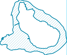
Marine park map (GIS) constructed by "hydrografische dienst" from 30m depth line (2009-2013)
Back to search results