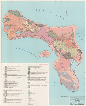
Historical soil map of Bonaire
The historical soil map of Bonaire has been produced for the ministry of welfare of the government of the netherland antilles as part of the development plan on land and water at a scale of 1:40.000.
The download includes a hi-resolution scan of the original paper map and a geo-referenced version for use in GIS.